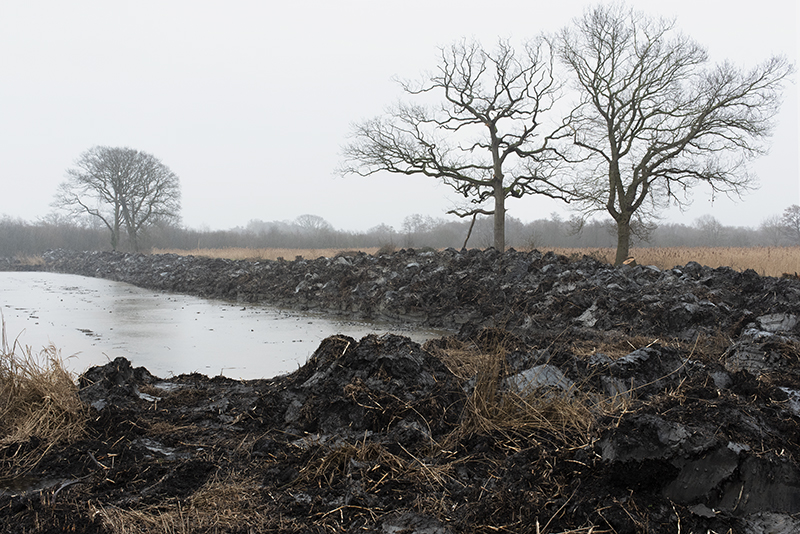
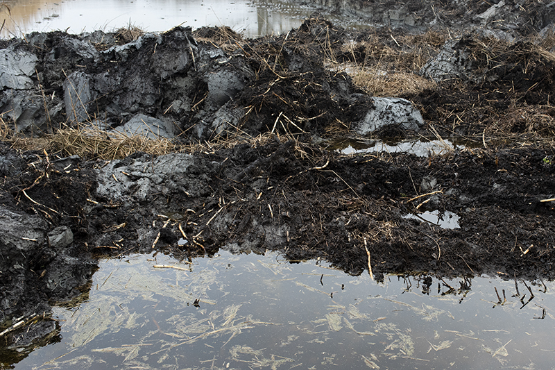
Saltlands
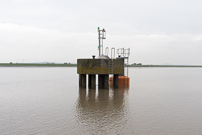
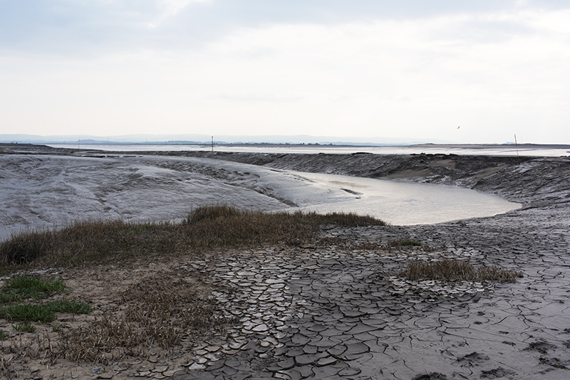
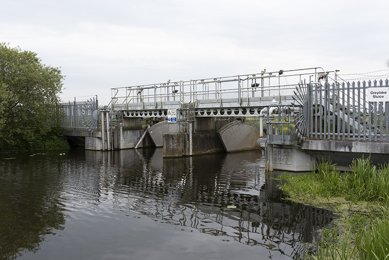
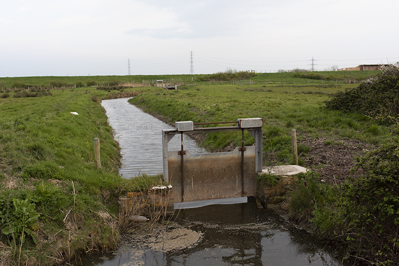
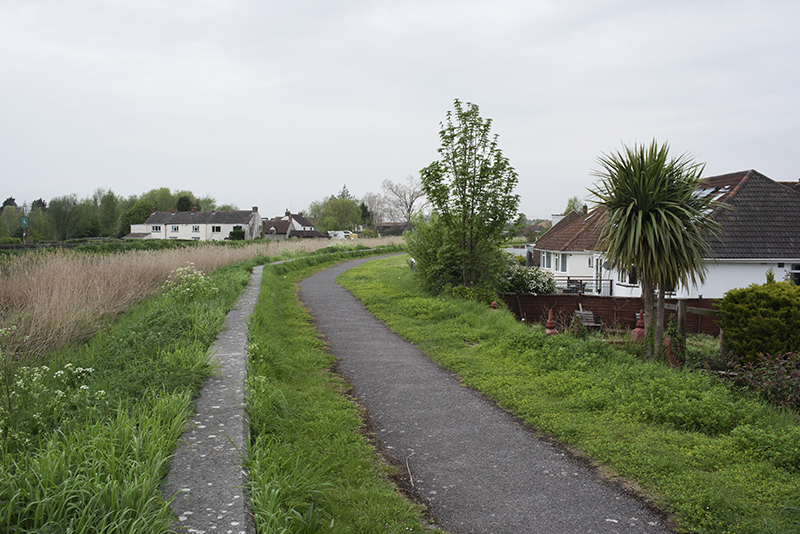
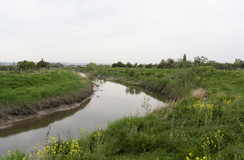
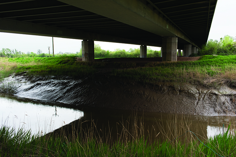
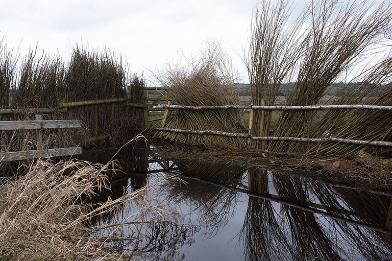
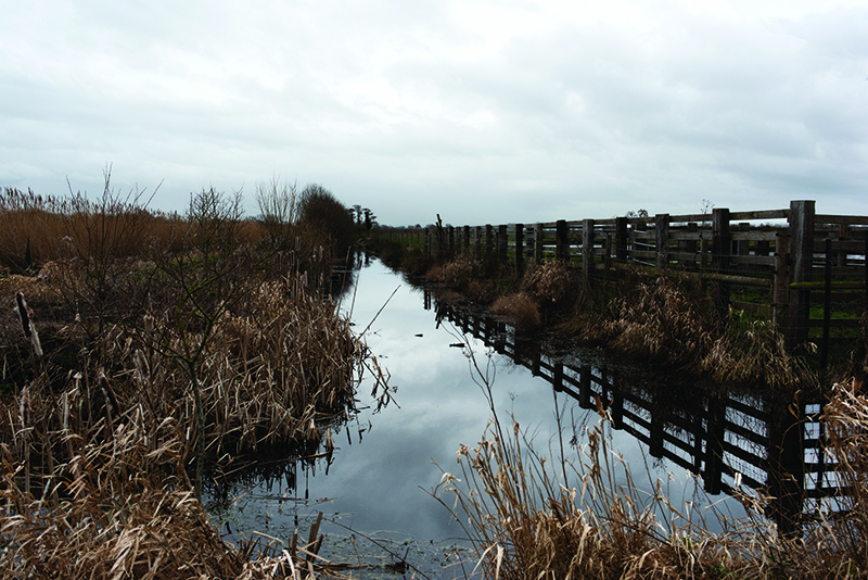
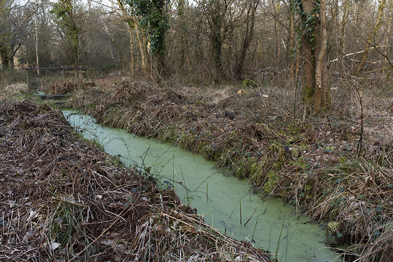
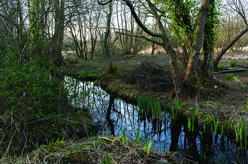
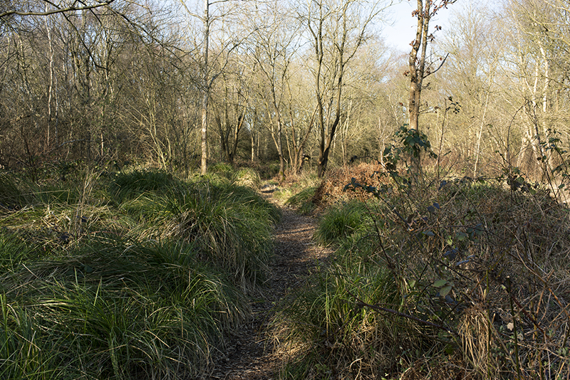
The Somerset Levels cover some 170,000 acres, much of which lies only 3-4 metres above sea level. The area is characterized by its geometric network of drainage ditches and rhynes, built by the Dutch in the 17th century to reclaim this land from the sea. Its tidal nature and elevation, however, make it increasingly susceptible to flooding. Climate change indicators are that rising sea levels, storms, and extremes of drought and flood will ensure its eventual return to the sea.
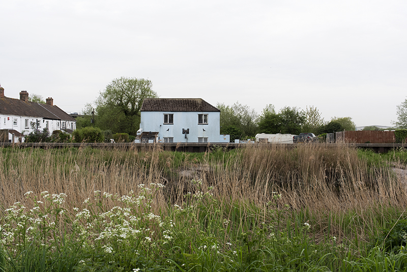
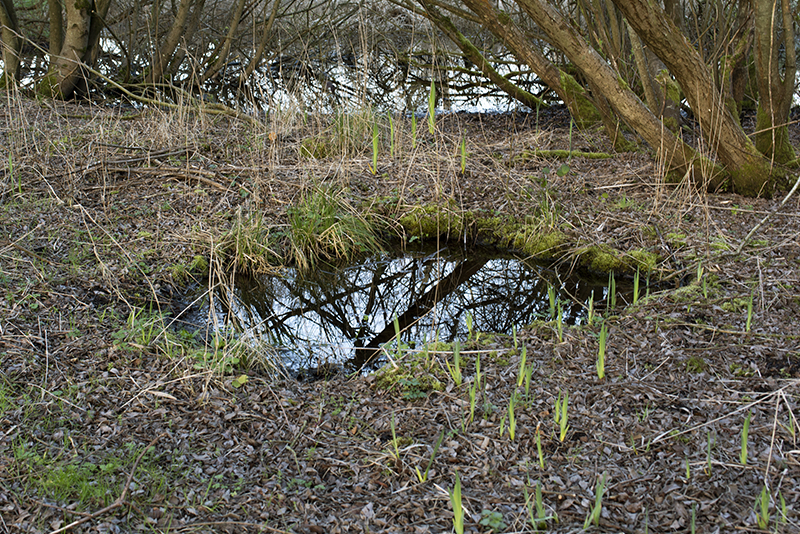
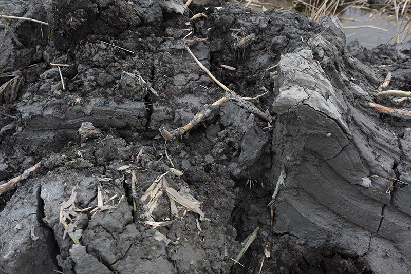
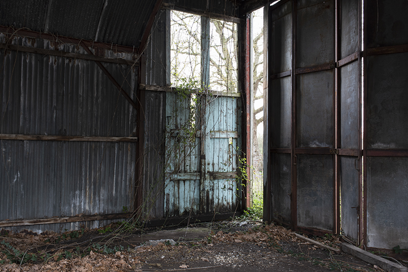
Derelict buildings, makeshift structures and worked peat bogs evidence man’s continuous, but temporary, inhabitation of this vulnerable region. This work aims to explore the fragility of a threatened landscape and man’s ultimate inability to control the devastating impacts of climate change.